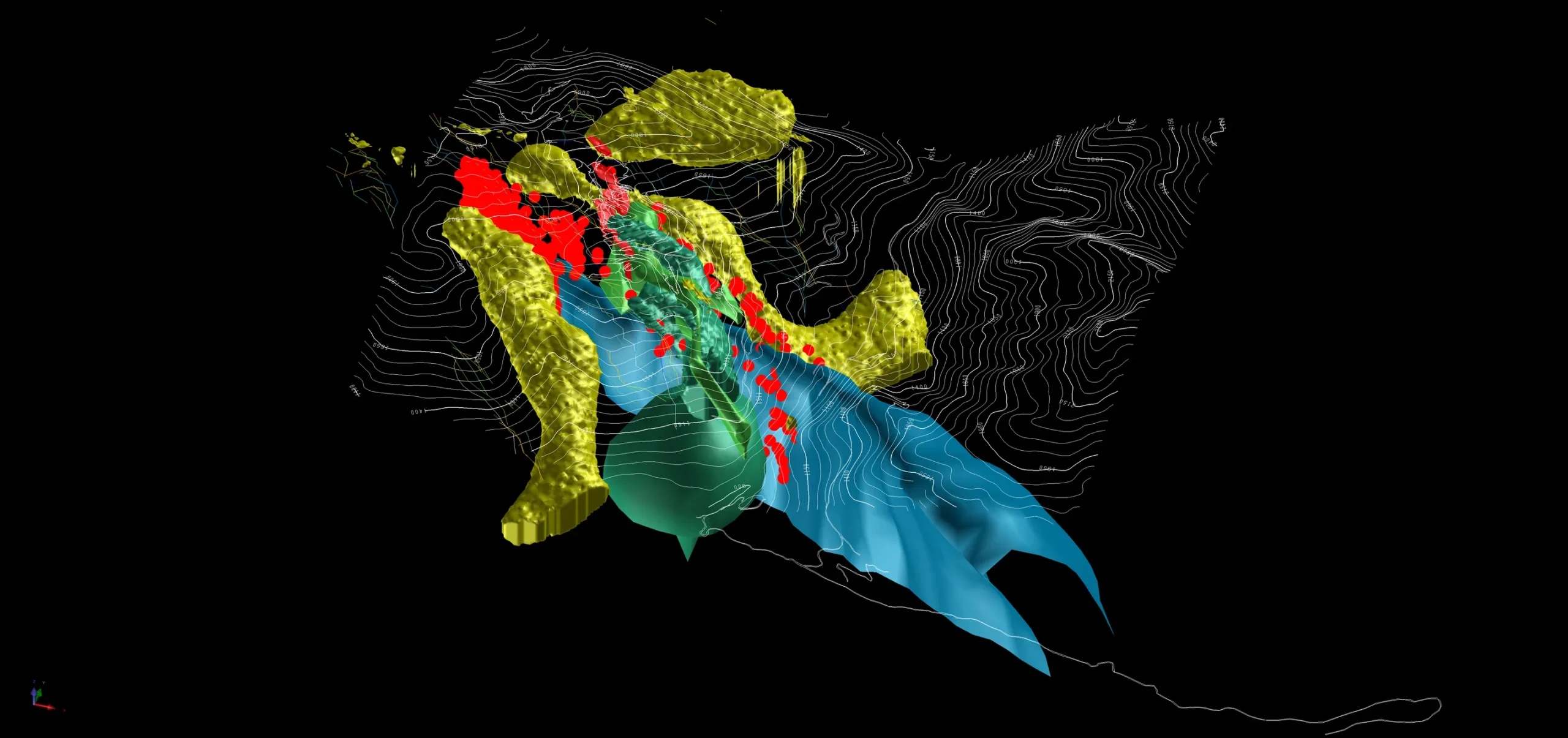
Thor in 3D. Seeing the system as one connected volume.
Geology, geophysics and drilling are integrated to reconstruct the mineral system beneath the surface - revealing how the known deposit relates to structure, alteration and deeper targets.
Taranis uses three-dimensional modelling around the existing NI 43-101 Mineral Resource to understand the spatial relationship between the deposit and the broader Thor mineral system.
The imaging analogy
Geoscience works like an MRI or CT scan of the Earth.
Medicine and exploration share the same fundamental challenge: the interior cannot be observed directly. Both disciplines transmit or measure physical fields, record how materials change those signals, reconstruct a three-dimensional volume and rely on specialists to interpret the result.
At Thor, that interpretation helps geologists position the known mineralization against folds, intrusive rocks, alteration, conductive bodies and concealed terrain.
Model status
Interpretive geological model - not a Mineral Resource estimate
01
Spatial context
Place the deposit, structures and geophysical responses within the same coordinate system.
02
Target precision
Use converging evidence to refine drill placement before committing field capital.
03
System scale
Test whether surface geology and deep physical signatures form one connected framework.
02 · Imaging workflow
From physical field to geological interpretation.
Each model begins with a measurable physical response. The value comes from connecting that response to mapped geology, drill core and structural context.
01
Transmit or observe
Use electromagnetic, magnetic or other physical fields to interrogate the subsurface.
02
Material response
Rock type, alteration and conductivity modify the field in characteristic ways.
03
Record signals
Airborne and ground sensors measure the returning or naturally varying response.
04
Invert the data
Algorithms reconstruct a three-dimensional physical-property model.
05
Interpret geology
Specialists compare the model with drilling, mapping and the evolving system concept.
Signals across rugged terrain
Imaging extends the field of view beyond individual drill holes.
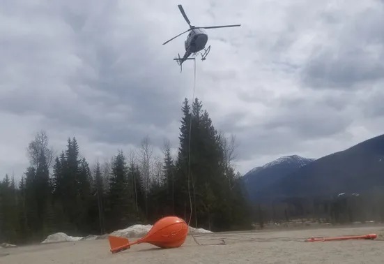
Geophysical surveys create continuous datasets across areas where direct observation is limited. They do not identify ore on their own; they help map contrasts that can be tested against geology.
Airborne geophysical acquisition at Thor
03 · The Thor 3D atlas
Read the mineral system layer by layer.
These 11 lenses move from the district's structural foundation through mineralization, intrusive activity, geophysical evidence and surface expression.